Travel Planning Hub
Start here to plan your trip, compare options, and explore every TLGA planning guide.
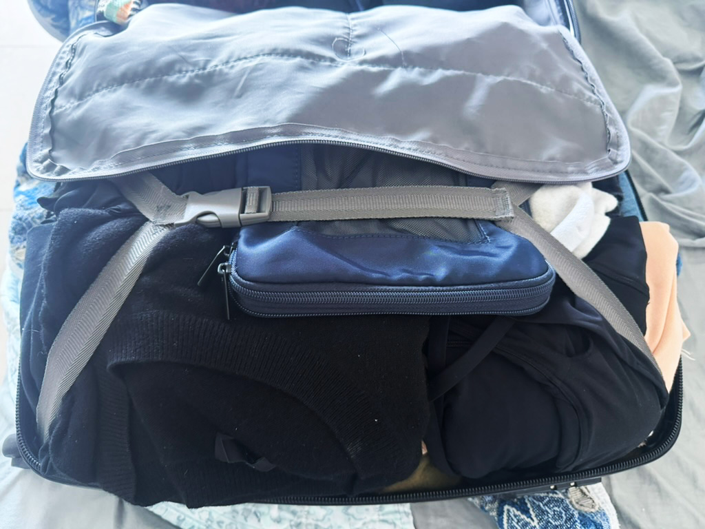
Packing & Gear Guide
What to pack, what to skip, and how to build a lighter travel setup that works.

Last updated: January 2026 by Corey Gasman
From the Editor:
This is my favorite two-week itinerary in the United States. It is not just a road trip, it is a geography lesson. You go from the Pacific fog of San Francisco to the dramatic cliffs of Big Sur, through the vineyards of Napa, up to the alpine blue of Lake Tahoe, and finish in the granite cathedral of Yosemite.
The pacing is the whole point. We start with city culture without a car, then rent one for the loop. The drives are scenic, but the timing matters, especially the mountain pass between Tahoe and Yosemite.
This route covers the best of Northern California, but it requires navigating three big hurdles: San Francisco parking costs, Yosemite planning and reservations, and the Tioga Pass seasonal closure.
For most travelers, the best window is late June through October so the full loop works. If you want the cleanest version of the trip, aim for September or early October for warm days, fewer crowds than mid-summer, and a strong chance Tioga Road is still open.
The “Tioga Pass” Rule:
This itinerary relies on driving from Lake Tahoe to Yosemite via Highway 395 and Tioga Pass (the East Entrance). It is one of the most beautiful drives in the United States, but it closes due to snow and is not reliable outside summer and early fall.
The takeaway: Plan this trip for late June through October if you want the full loop without a massive reroute.
⭐️ The Smart Move: Do not rent a car for your San Francisco days. Pick it up on the morning you leave for Carmel. You will save real money and avoid daily parking stress.
Read: The Complete USA Guide (how to plan distances, budgeting, and logistics)
Build your trip like a system: Getting Around Abroad
The Golden Gate Bridge is your starting line. Spend your first few days exploring the city on foot and ferry before getting behind the wheel.
This loop covers roughly 800 miles (1,300 km) of driving. It is designed to minimize long-haul days and maximize time outside.
| Stop | Nights | Why Stop? |
|---|---|---|
| 1. San Francisco | 3-4 | City culture, food, Alcatraz, Golden Gate Park |
| 2. Carmel / Big Sur | 2 | Coastal cliffs, aquarium, charming walkable town |
| 3. Napa / Sonoma | 2-3 | Estate wineries, farm-to-table food, relaxation |
| 4. Lake Tahoe | 3 | Alpine hiking, boating, unreal water color |
| 5. Yosemite | 3 | Waterfalls, giant granite cliffs, sequoias |
Drive Times (Reality Check):
Use this map as your visual overview. The loop is designed to keep drives reasonable and maximize full days in each region.
Map placeholder: add a custom TLGA route graphic showing the Golden Loop order and key highways.
Leg 1 is about neighborhoods. Use the cable cars, Uber, and your feet.
Fly into SFO. Take a ride-share or BART (train) to your hotel. Do not rent a car yet. Spend these days adjusting to the time zone, eating well, and building a simple city loop.
If you are choosing between two hotels, pick the one with the easier walking loop and transit access. It will save you more time than a nicer room.

Leg 2 takes you south to the most famous coastline in America. Drive Highway 1 for the views.
The Move: Pick up your rental car in the city (Union Square area is convenient) so you do not have to trek back to the airport. Drive south via Highway 1 when conditions allow.
Leg 3 heads north for wine and warmth. Napa is polished; Sonoma is relaxed. Both are excellent.
The Move: Drive north from Carmel. You will skirt around the San Francisco Bay and traffic can be real in the East Bay. Aim to arrive by early afternoon so you can settle in and do an easy first tasting or dinner.
Leg 4 goes east into the Sierra Nevada mountains. The water really is this blue.
The Move: Drive east on I-80 or Highway 50. The landscape changes from rolling vineyards to pine forests and granite peaks.
Leg 5 is the grand finale. Drive Tioga Road straight into the high country of Yosemite when it is open.
The Move: Drive south from Tahoe on Highway 395 through the Eastern Sierra. Enter Yosemite via the Tioga Pass Entrance when Tioga Road is open. This is one of the best scenic drives in the region.
Finish the loop by driving back to SFO. It is about a 4-hour drive from Yosemite Valley to the airport in normal conditions.
Rent the car on Day 4 (leaving SF) and return it on Day 14 (at SFO airport). You do not need a massive SUV, but you do want something comfortable for mountain curves and long days.
This trip covers three distinct climates. You need layers.
If you only plan two things early, plan your Yosemite lodging and your core SF hotel. Everything else is flexible.
Not this exact route. In winter, Tioga Road is closed, which breaks the Tahoe to Yosemite leg. You can still do Northern California in winter, but pick either Tahoe (skiing) or Yosemite Valley as a winter leg and do not try to connect them through Tioga.
Yes. Lodging can sell out months in advance. Entry and access rules can change year to year, so check official Yosemite planning and reservation updates before you go and do not assume you can just show up in peak season.
Go to Napa for iconic estate wineries and a polished experience. Go to Sonoma for a more relaxed pace and rustic wine country vibes. They are close enough that you can easily do a day in each.